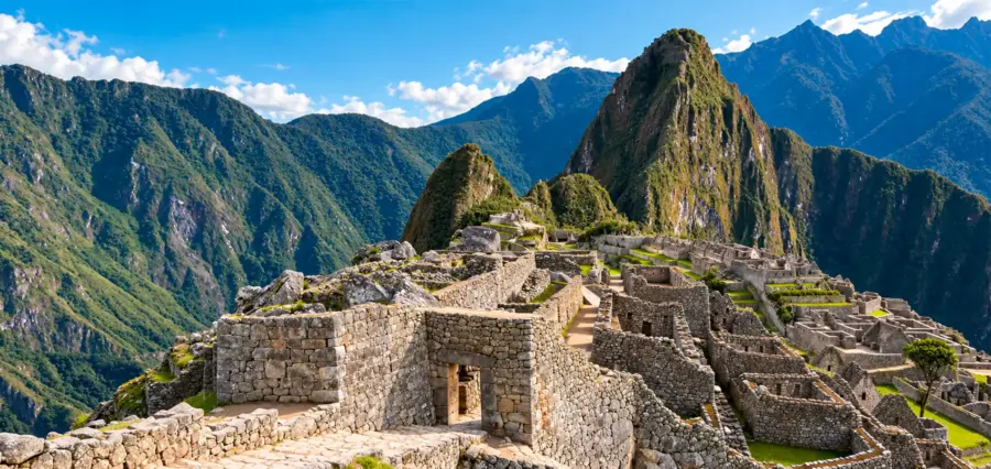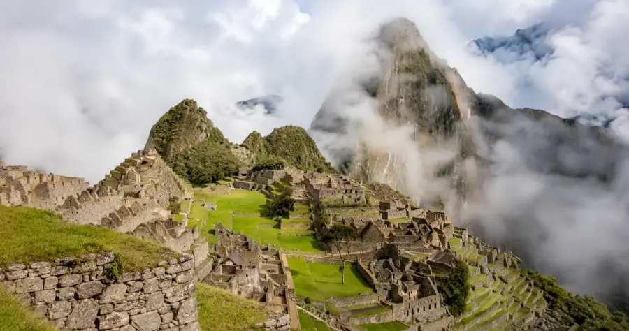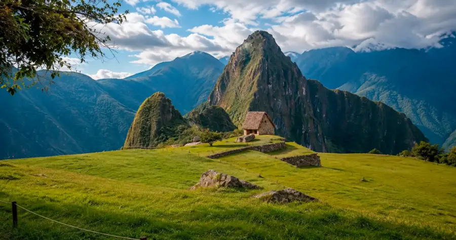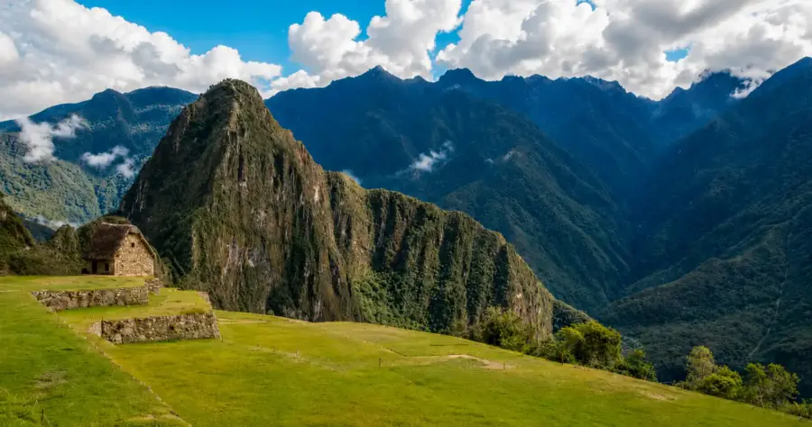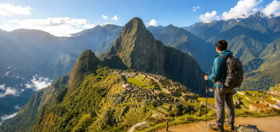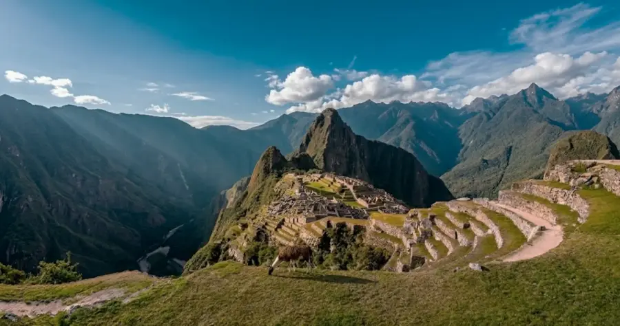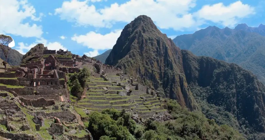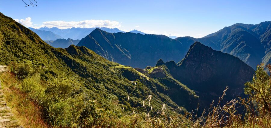

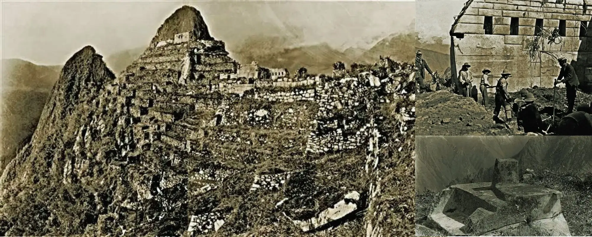
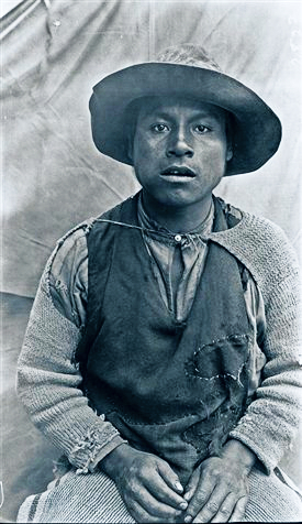
These historical photographs show Machu Picchu during Hiram Bingham’s 1911 visit and the Yale Peruvian expeditions that followed. They document stone structures partly obscured by vegetation, early clearing and excavation work, local residents and workers, and architectural areas that look very different today. Bingham did not introduce an unknown place to its local inhabitants: Machu Picchu was already known in the region. His expeditions photographed and studied the site and helped bring it to international attention. For a broader account, see the history of the Machu Picchu citadel.
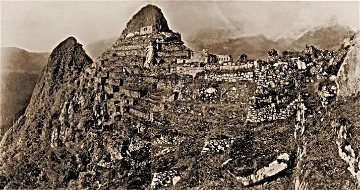
The first photos of Machu Picchu associated with Bingham’s expeditions show a site that had not yet undergone the systematic clearing, excavation and conservation management familiar to visitors today. Vegetation obscured parts of the masonry, while some terraces were already being cultivated by local residents. The photographs are evidence of the site’s condition during the early twentieth century—not reconstructions of how Machu Picchu looked when it was built in the Inca period.
Yes. Machu Picchu was known by people living in the region before Bingham arrived. Local families occupied or cultivated parts of the ridge, and earlier visitors had reached the archaeological site. Bingham’s historical importance lies in leading expeditions that documented and excavated Machu Picchu and in helping make it internationally known—not in being the first human or first local person to know it existed. The related Terandes article on who discovered Machu Picchu examines that question in greater detail.
Research published by Peru’s Ministry of Culture documents an inscription reading “Lizárraga 1902” in the Temple of the Three Windows. Agustín Lizárraga had visited the site before Bingham, accompanied in 1902 by Enrique Palma and Gavino Sánchez. The inscription, visible in an early photograph, is evidence of documented visits and local knowledge before 1911. It was later removed during clearing work.
On 24 July 1911, Melchor Arteaga accompanied Hiram Bingham and Peruvian army sergeant Andrés Carrasco toward Machu Picchu. At the ridge they encountered residents associated with the Richarte and Álvarez families, and a young local guide showed Bingham through the ruins. Recognizing these participants gives a more accurate account of how Bingham reached and documented the site.
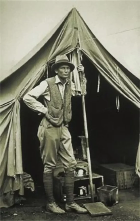
Bingham used photography as part of his field documentation. National Geographic’s historical archive reports that he photographed Machu Picchu with a special Kodak camera and that some panoramic images were probably made with a modified Kodak 3A. The current Terandes media records do not contain archival catalogue numbers or verified license information for the copies below. Their exact source and reproduction rights therefore require confirmation before they can be presented as fully documented archival reproductions.
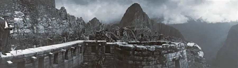
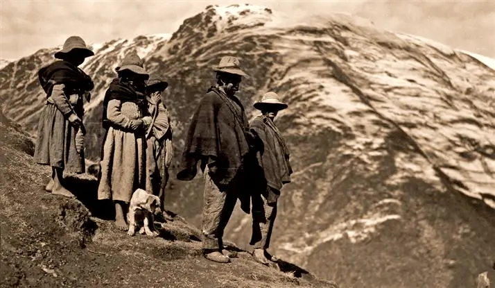
Bingham returned with a larger Yale–Peruvian Scientific Expedition in 1912. Clearing, surveying and excavation made architectural sectors more visible and produced a much larger photographic record. The images below are presented in the existing article as excavation-era views. Because their individual archival records are missing, their precise date should remain provisional until matched to an institutional catalogue. Materials excavated during the expeditions were later returned to Peru, and collections are now associated with the Machu Picchu Museum at Casa Concha.
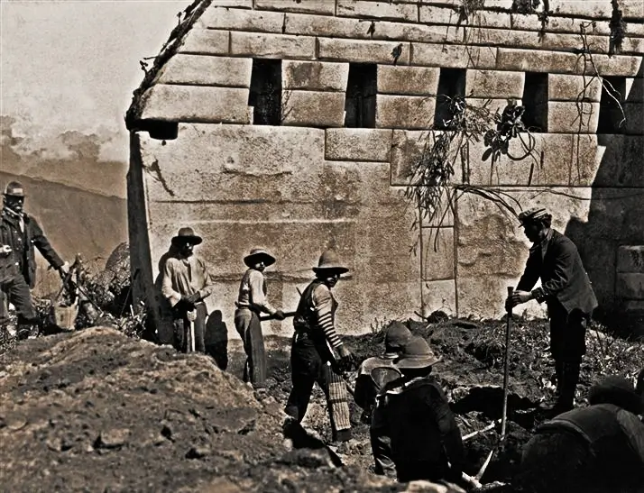
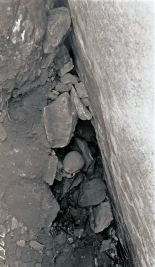
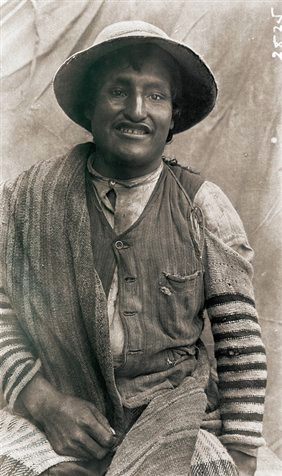
Several photographs depict recognizable architectural sectors. The historical image associated with the Sacred Plaza should be checked against institutional records before assigning an exact year. The nearby Temple of the Three Windows is also relevant to the documented “Lizárraga 1902” inscription.
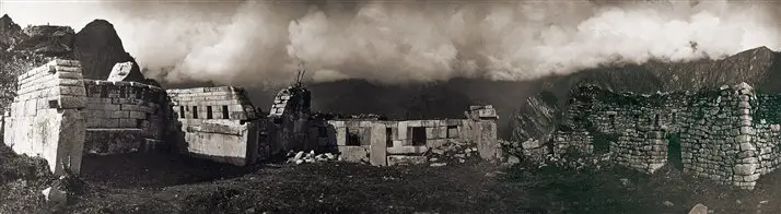
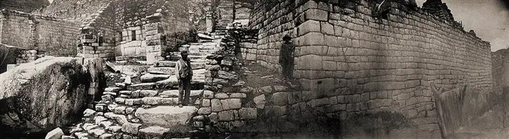
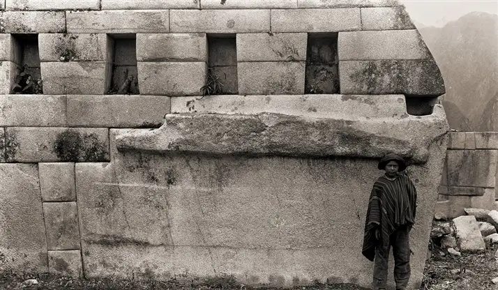
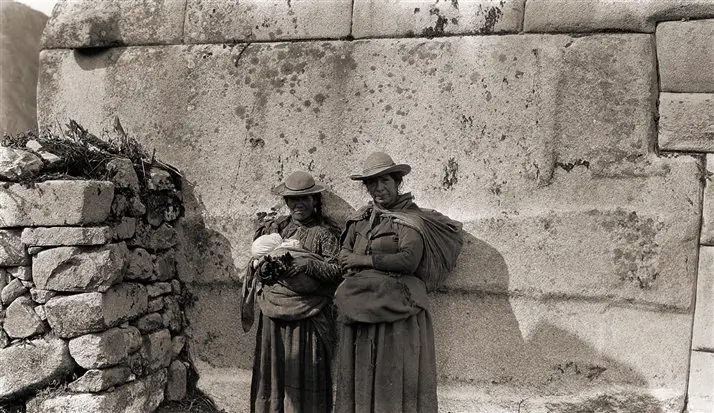
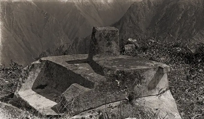
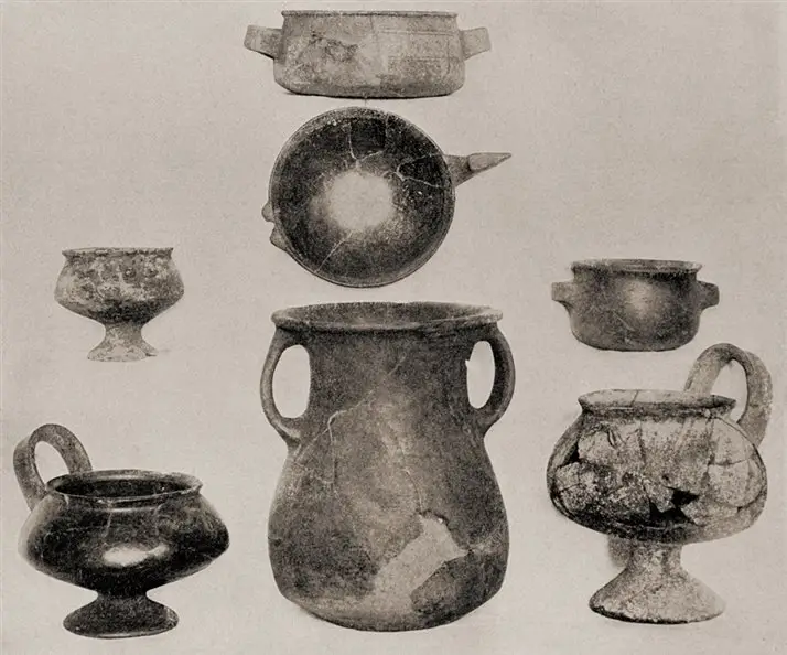
The early photographs show extensive vegetation around many structures. Beginning in 1912, systematic clearing and archaeological work exposed walls, terraces, plazas and burial contexts more clearly. Later conservation and visitor management changed how the site is seen and accessed. These interventions should not be described as a single restoration event: clearing, excavation, stabilization, conservation and visitor infrastructure occurred for different purposes and at different times.
| Aspect | 1911 photographs | Today |
|---|---|---|
| Vegetation | Many structures partly obscured; some terraces cultivated locally | Principal architectural sectors are kept visible under conservation management |
| Visibility of structures | Uneven, depending on vegetation and local clearing | Main visitor sectors are clearly identifiable |
| Archaeological work | Initial observation and photographic documentation | More than a century of research, stabilization and conservation |
| Visitor infrastructure | No modern tourist circulation system | Managed access, designated circuits and visitor controls |
| Conservation | Before modern institutional management | Managed as a protected cultural and natural heritage site |
| Year | Event | People / Expedition | Significance |
|---|---|---|---|
| 1902 | Documented visit and inscription | Agustín Lizárraga, with Enrique Palma and Gavino Sánchez | Evidence of visits and regional knowledge before Bingham |
| 24 July 1911 | Bingham reaches and photographs Machu Picchu | Hiram Bingham, Melchor Arteaga, Andrés Carrasco and local residents/guides | Scientific documentation and the beginning of international dissemination |
| 1912 | Systematic clearing, surveying and excavations | Yale–Peruvian Scientific Expedition and Peruvian participants | Produced extensive archaeological and photographic records |
| 1913 | Major international publication | National Geographic Society and Hiram Bingham | Photographs introduced Machu Picchu to a large international readership |
| 1915 | Later expedition and research | Bingham-led expedition | Extended documentation and archaeological investigation |
Institutional records confirm that the Bingham expeditions generated a large photographic archive, but the copies currently used on this page are not accompanied by catalogue numbers or individual rights statements. They should not be labelled “public domain” without verification. Before any future reuse or redistribution, each file should be matched to its holding archive and checked for permitted use.
Hiram Bingham produced the earliest widely published photographic record of Machu Picchu during his expeditions beginning in 1911. Whether every image on this page was personally taken by Bingham requires confirmation from the relevant archival record.
Many walls and structures were partly obscured by cloud-forest vegetation, while local residents had cleared and cultivated some terraces. The principal architectural sectors became more visible during systematic clearing and excavation from 1912.
Yes. Local residents knew and used parts of the site, and documented visitors arrived before 1911. Bingham’s expeditions studied, photographed and publicized Machu Picchu internationally.
Hiram Bingham reached Machu Picchu on 24 July 1911 with assistance from Melchor Arteaga, sergeant Andrés Carrasco and people living in the area.
Agustín Lizárraga was a Peruvian visitor associated with a documented 1902 inscription at Machu Picchu. His visit is important evidence that the site was known before Bingham’s arrival.
Systematic clearing and excavation exposed more of the architecture. Later research, stabilization, conservation and visitor management further changed how the archaeological site is preserved and experienced.